ronabeaut
a year ago
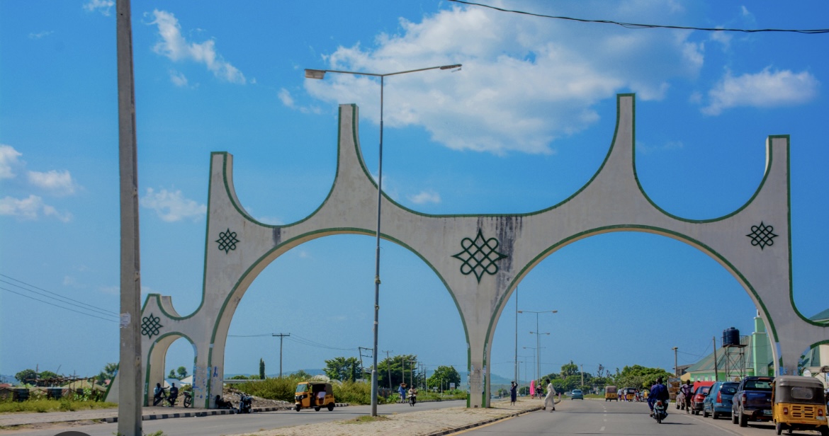
Niger State
• Capital: Minna
• Geopolitical Zone: North Central
• Land Area: Approximately 76,363 square kilometers
• Borders: Shares boundaries with 7 other states and the Republic of Benin
Brief History:
Niger State was created on February 3, 1976, during the military regime of General Murtala Mohammed, following the division of the former North-Western State. It was named after the River Niger, which flows through the state and remains a vital natural feature in Nigeria.
The state is known for its diverse ethnic groups, including the Nupe, Gwari, Hausa and Kambari. It is also home to Nigeria’s largest hydroelectric dams: the Kainji Dam, Shiroro Dam and Jebba Dam — which are crucial for the country’s power supply.
Niger State hosts several national landmarks, including the famous Zuma Rock, often referred to as the “gateway to Abuja.”
Stay tuned to OUR PALAVER for in-depth insights, historical context and well-researched knowledge about Nigeria.
0
4